

Trip Report

Ground down by Covid restrictions and a stressful work project I packed in my job and headed out to Costa Rica for a couple of months. This was done at short notice and was primarily a backpacking trip, and having not backpacked in nearly a decade, I wasn’t quite sure how I’d feel about it.
I still wanted some adventures thrown in, and so I did a couple of weeks of whjte water kayaking and settled on giving the Camino de Costa Rica a go. This is a coast-to-coast 280km trek across the country, and was pretty much the only long distance hiking trail I could find information on in Costa Rica. Normally people walk from the Caribbean (east) to the Pacific (west), but my other plans meant I did it in reverse, which unfortunately meant for a long first day.
That first day was hard, I was slightly hung-over and started later than I meant to, meaning I was out in the heat of the sun, and at a low elevation, for most of the day. I only had a small mountaineering pack, and had enthusiastically packed food for 4 days, so the bag felt overloaded and heavy. The site https://www.caminodecostarica.org/altimetry contains lots of information on the route, including distance and altitude profiles for the 16 stages – this first day taught me to treat it with some caution though as the site stated 18.6km for the first day, but the first stage marker said it was 28km instead!


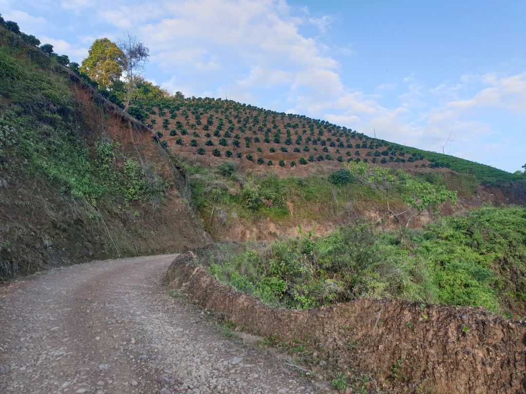
Learning from my mistake, I was up at 3am for my second day, to ascend the steep slopes before the sun came up. My headtorch had broken just before I started this trip, so I spent many mornings walking for a couple of hours in the dark, before getting enough light to see properly at around 5.30 when the sun rose. The first few hours were hardgoing, as I rose up to the coffee plantations at around 1500m. Water was very scarce today, and a couple of times I had to jump fences into seemingly abandoned coffee plantations to find a an agricultural water pipe to fill my water bottle with. My campsite on the 2nd night was probably the worst of the trip; I found a small dribble of a stream (really just a drip running down a rock!) and decided to stay there as I didn’t want to go on and risk not being able to find water – given how early I’d started it was only just after 10am when I got to this stop, and I spent the rest of the day getting strange looks from coffee pickers whilst I sat on the outside of a bend in the road and waited for night to fall.

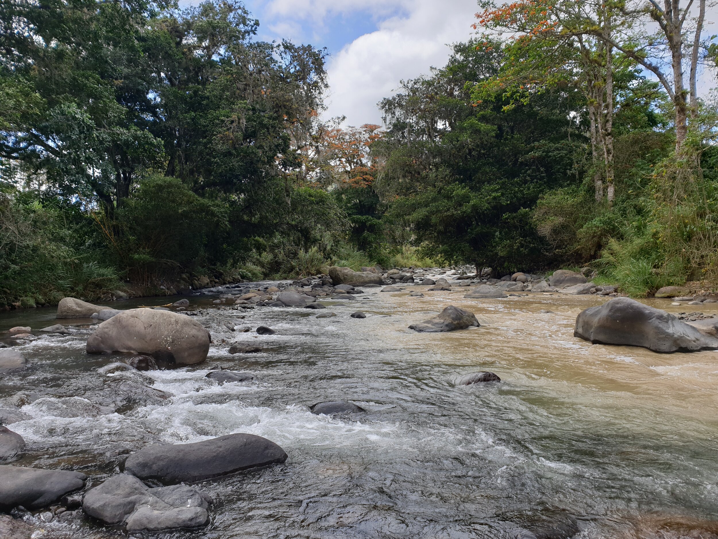
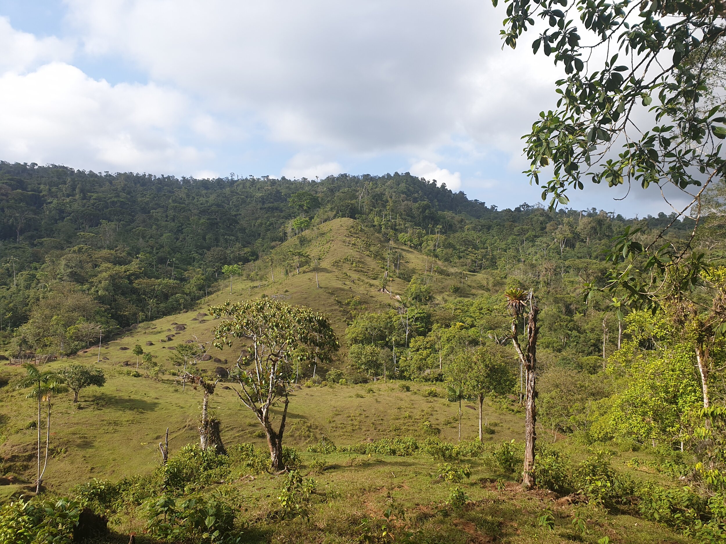
Over the next few days I followed mainly directly roads, slowly making my way towards Orosi where a friend was joining me for a couple of days. The final day heading into the north-west of Orosi (I think roughly stages 11 and 12 from the link above) was one of my favourite days – I started up in the hills in small villages buried in great smelling woodland and with panoramic views over the surrounding valley, and later descended through rainforest (the first part not along a road!) to a river and Orosi. I even picked up a dog for most of the day; her accompanying me from the villages near the start until I came out of the rainforest. My faithful companion was not a brave protector though, as soon as we encountered another dog that barked at us she turned tail and headed back the way she’d come!
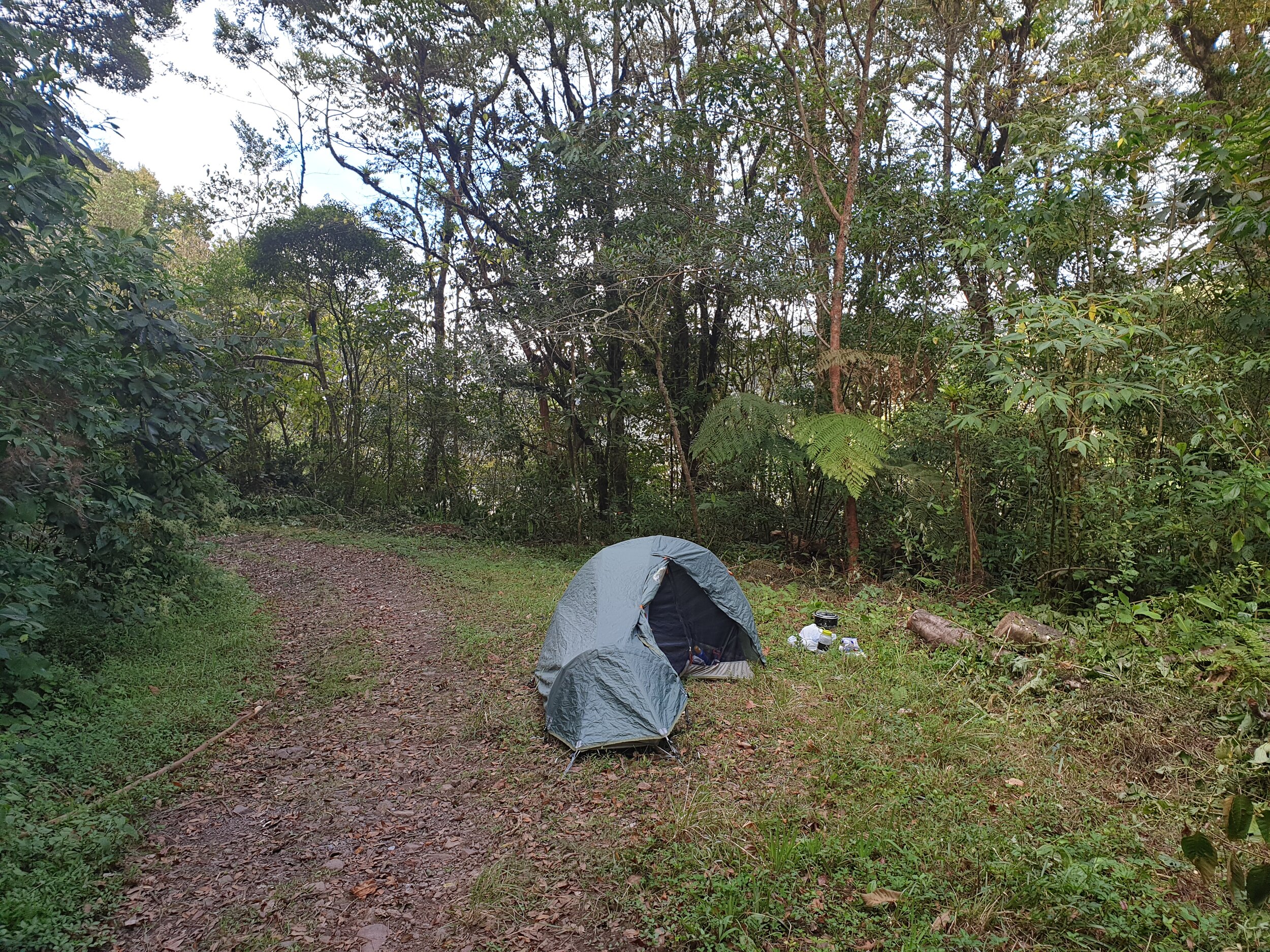
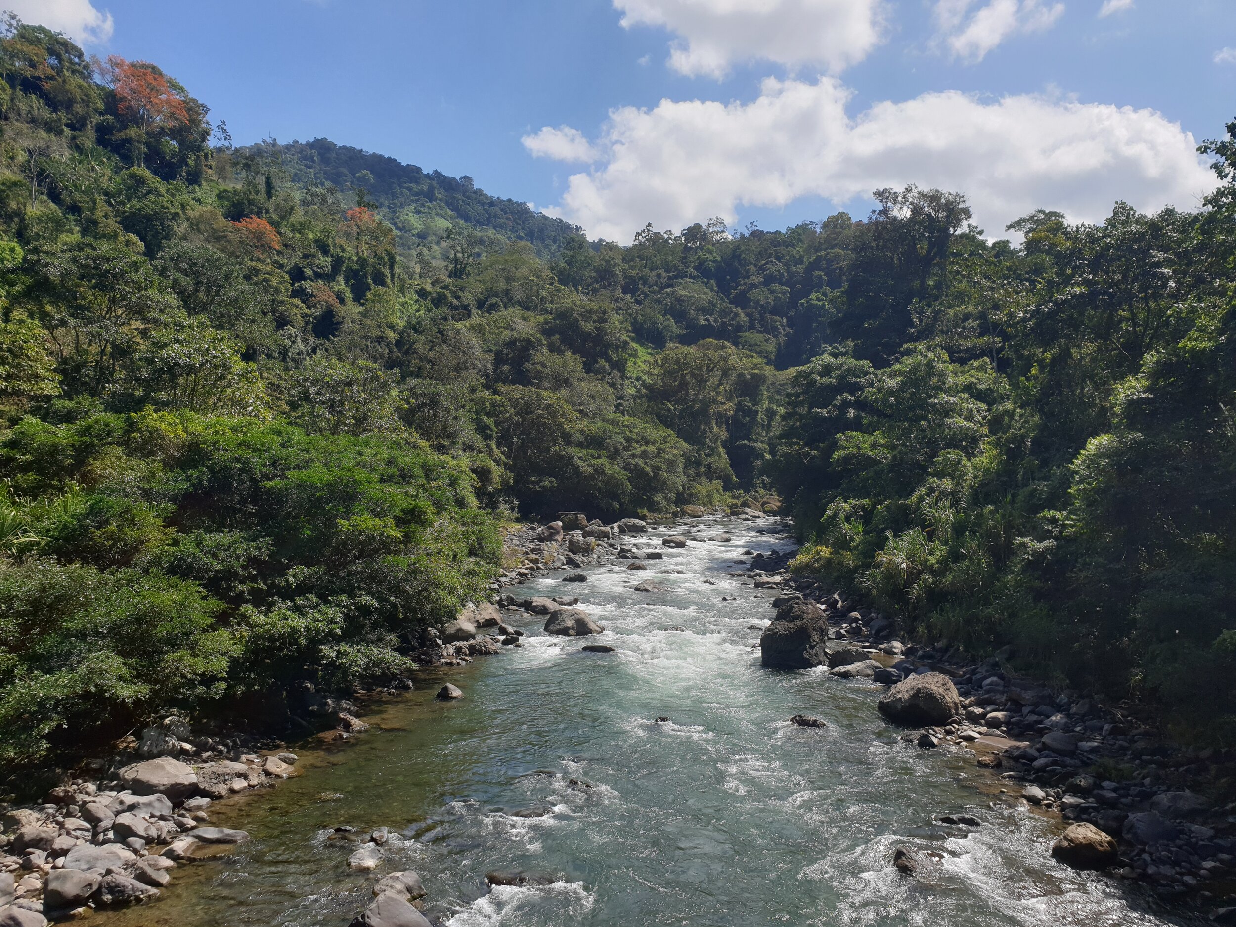
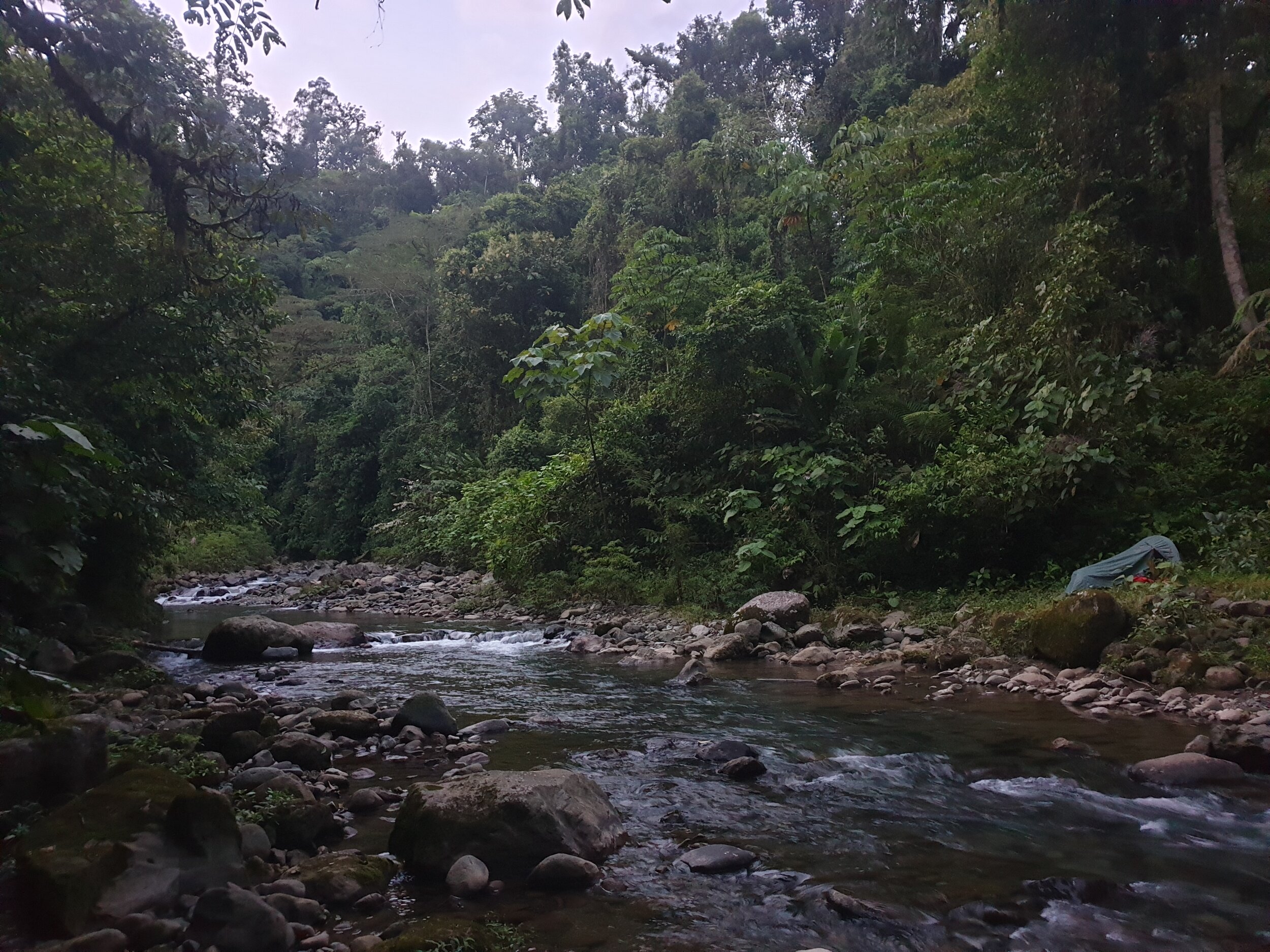
My friend Saskia joined me in Orosi and accompanies me along stages 6 – 9. It was great to get some company to break up the days; even if it did mean taking a bit of a detour at one point when our chatting meant we forgot to check the route! Our first night camping we stopped at a beautiful spot at the first confluence of the Pejibaye, a location I knew from one of my kayaking trips, engaged in some cheeky skinny-dipping and enjoyed a extravagant and delicious dinner courtesy of Saskia’s cooking skills.
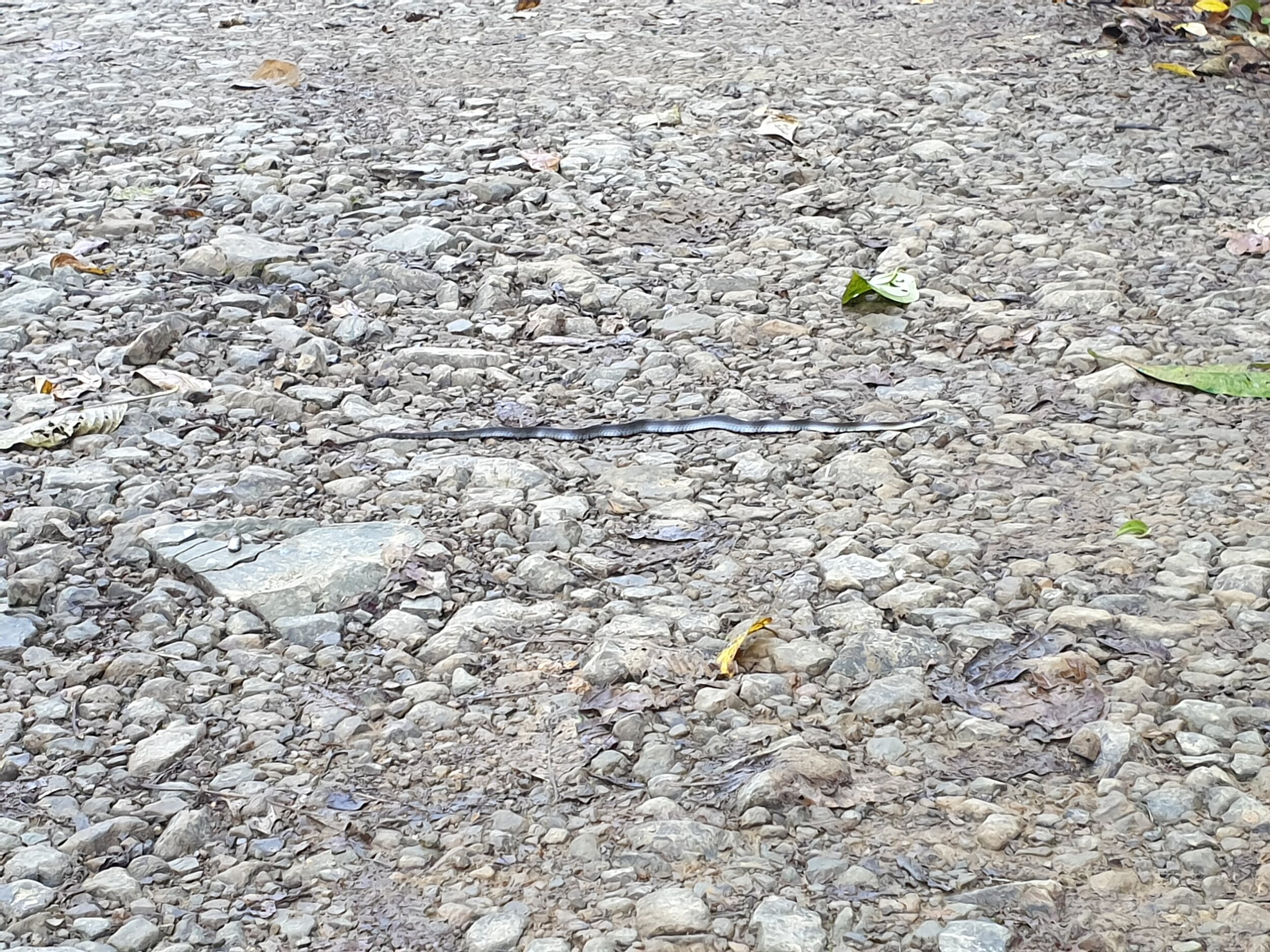
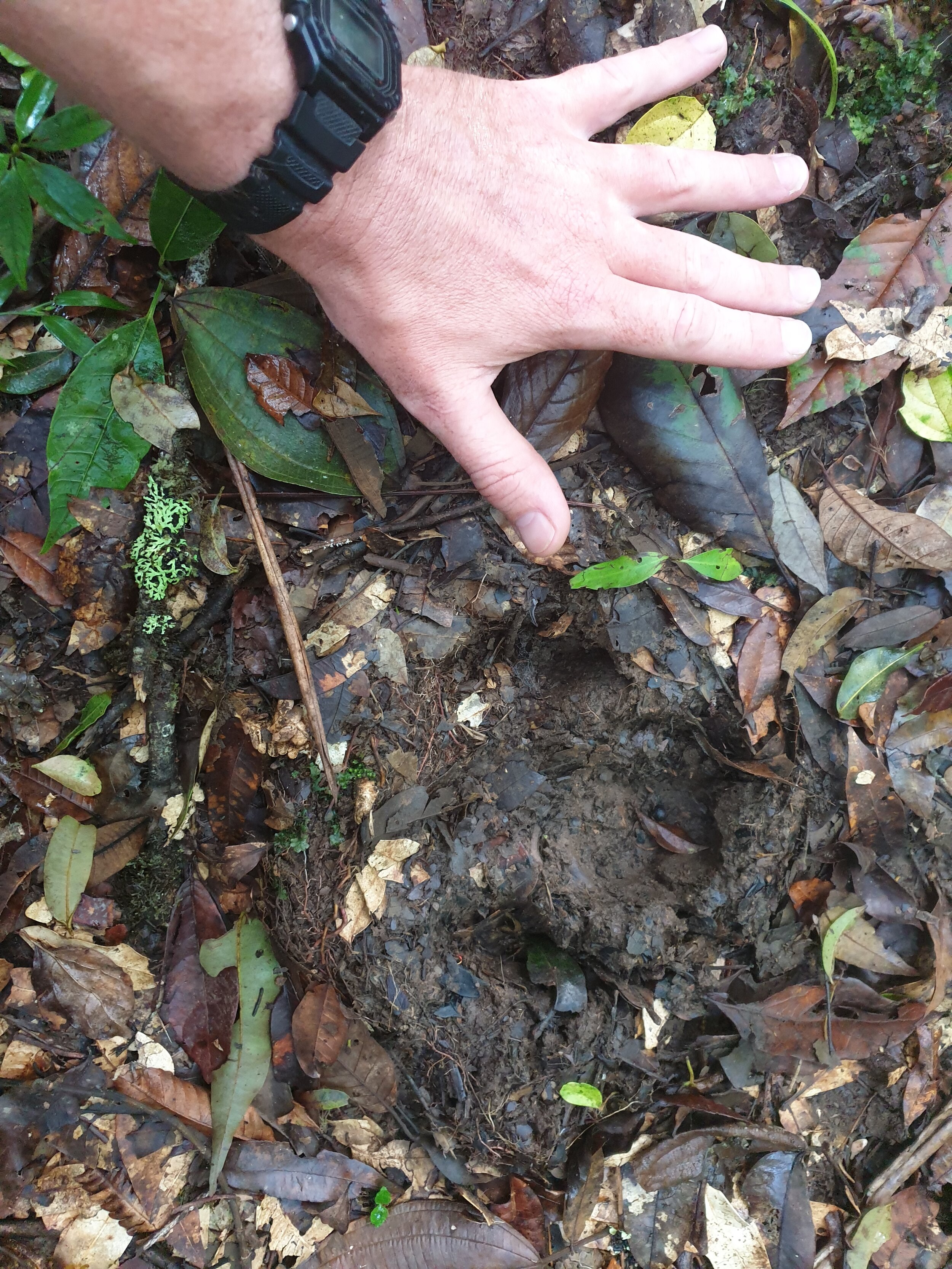
For the last 3 days, from Pacayitas to the coast, I was by myself again. There was a long jungle section, which I split over 2 days, which took me by surprise, given that nearly all of the rest of the route had been on roads. Even though it had been dry recently this was very muddy in places, and on several occasions the jungle became thick. I feel like maybe the trail would be better normally, but was more overgrown due to reduced hikers as a result of coronavirus – in any case I found this part of the trail quite stressful, I wasn’t really equipped or experienced enough for a proper jungle hike. Due to making much slower progress due to the mud and vegetation, I also misjudged the timing and ended up having to run, so far as was possible, for the last hour to make it to a likely camping spot before dark. Trading speed for safety I slipped several times and a couple of times did some almighty trekking pole assisted jumps over what I incorrectly thought were snakes, but just about made it into camp before dark. This was easily my longest day, and I collapsed straight into the tent and fell asleep instantly, not evening bothering to cook dinner.


The following morning brought more jungle, and I passed through several indigenous settlements which was interesting. Eventually I came to a road, and I felt genuine relief that the jungle, and therefore the dangerous animals in it, was behind me.
My final day had me walking the flatlands from Cimarrones to Muelle Goshen. Muelle Goshen is pretty much where the road ends, and I don’t think it’s possible to walk to the coast from here. The last few kilometres of the journey were by boat, and finally I was at the Caribbean coast. Unfortunately something had got lost in translation, and so once I arrived at the coast I was taking on a 6km hike along a jungle trail running parallel to it before catching a boat back at the other end – the jungle trail was fine, but after all the walking I’d done another 6km was the last thing I wanted!

Logistics Guide
The website https://www.caminodecostarica.org provides good information on the trail and food/accommodation options. I carried wild camping equipment, and I think it would be difficult to do the trail without camping unless you spoke good Spanish and planned well in advance (most nights it would be easy to find food/accommodation without planning but there were a few places where it would be harder).
For navigation I just loaded the trail from the website onto my GPS and phone, and this worked well.
On my first day I started with 3l of water, but on subsequent days I normally only carried at most 1l at a time. I did start early in the mornings most days (around 4am), and would typically drink half a litre every two hours I was walking. Other than on my second (in the coffee plantations between Esquipulas and Napoles) I didn’t have any problems with this method and was able to find water when needed.
Mosquitos and other bugs weren’t bad, and throughout my time in Costa Rica I didn’t get bitten that much, however you should still take bug spray. I didn’t bring waterproofs to Costa Rica, and so didn’t have the option of packing any for this trip – I didn’t get rained on during the trek but you can get heavy jungle rain anytime of the year, so a lightweight poncho would be a good option. For footwear I just wore road running shoes; these worked very well given that most of the trail is on unmade road. The two jungle sections were however very muddy, and I think most people would feel a lot more comfortable in proper boots for these sections – potentially jungle/rubber boots and machetes should also be carried for these sections.
Getting to the Caribbean coast from Muelle Goshen is expensive and requires some co-ordination. My private taxi boat cost around $65 return, though I think normally there are scheduled trips that allow you to split the cost with other travellers. The docks at Muelle Goshen are outside Lirio Lodge, and they should be able to help arrange transport for you if needed.
The website splits the trek in 16 stages, though I walked it in 11 days. My days (start time to end time, including breaks) averaged just under 5.5hrs, giving a total travel time of 60 hours and an average speed of around 4.5km/h (assuming this total distance given on the website of 280km is correct).

Leave a comment